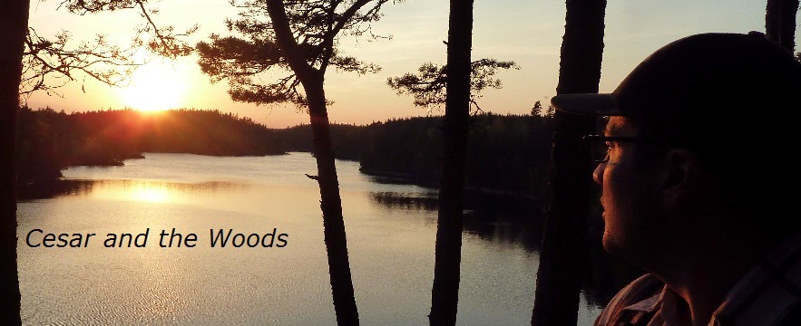
At 189km total, Västra Vätterleden is one of the somewhat longer stand alone trails that is a part of the E1 trail system. This report will cover roughly half of this trail, from stages 4 to 2, which goes from the town of Hjo in the south to the town of Karlsborg in the north. The trail goes along the western part of the area surrounding the massive lake Vättern, but doesn't follow the lake directly. There are points where the trail does intersect with this mini-sea of fresh water, such as the end point of this report in the town Karlsborg, which is directly on the shores of the lake.
I was not able to find a good connection to public transportation at the northern end point of this trail (stage 1), or I would have hiked the last stage of the trail on my trip--and indeed, had intended on hiking the entire trail in my initial planning of this trip. Hiking to the end of the trail would have essentially stranded me in the middle of nowhere with no way of getting back home in the time I could afford to travel on this trip.
Karlsborg has good bus connections as well as other good conveniences for hikers, so for me I think that for all intents and purposes Karlsborg is a better end/start point to Västra Vätterleden. Hiking from Hjo there are a few different paths and short-cuts one can take, and can range from about 40km going the most direct route, or about 65km going a longer and more scenic route. I opted to mix in both shortcuts and scenic hikes for a hike that was roughly 53km.
In preparing for hike, I quickly found a Swedish website called Skaraborgsleder, with many different maps and reports on trails in the area--including the entire Västra Vätterleden. I printed out and used their maps for this trail and was generally quite pleased with them. You can read/print the maps for yourself here (in PDF format and with info in Swedish):
Stage 4, Hjo-Röå
Stage 3, Röå-Mölltorp
Stage 2, Mölltorp-Forsvik
The E1 trails before this going southbound go from Hjo to Mullsjö, and you can read about them here in part 1 of this trail report. Going northbound on the E1 you continue onto stage 1 of Västra Vätterleden, which directly connects with the next trail system, Bergslagsleden, and you can check out Part 1 of this trail report here.
If you have not read the introduction to this trail guide yet, you can do so here, and there is also a list of links to other completed reports of the Swedish E1 trails. Please keep in mind this is still a work in progress.
Now on to the guide!
---
 |
| Happy to be on the shores of Vättern again. |
This part of the E1 is a real gem, and I really loved my trip there. There are so many good aspects to this section of trail it's actually hard for me to decide on where to begin, but I will defer to pragmatism and speak first about how well planned and maintained this section of trail is. Not only is it generally very well marked, but local historical points of interest, shorter local trails, scenic views, shelters, trash cans, and information signs are all incorporated quite nicely on the trail. Along the way there are also various conveniences for backpackers, such as supermarkets, restaurants, hostels, bus stops, churches, good drinking water, etc.
This is also a visually stunning area, with many hills, views, bodies of water, and many stretches of vast, colorful woods--and woods of different variety. There is only some hiking on asphalt, though if you take short cuts or connect with Karlsborg there is a moderate but tolerable amount of street hiking. The backwoods roads that the trail follows are mostly grassy, dirt roads that cut through thick forest. I saw quite a bit of wildlife in this area, though unfortunately because it was raining for much of my trip, this makes it more difficult to take pictures, so I was only able to get a few shots of animals. I saw deer, hawks, cranes, snakes, a bunch of other types of birds.
It's pretty telling that in spite of a lot rain--from heavy downpours to drizzle--I still really enjoyed myself. Then again, I am perhaps a bit more tolerant of rain/getting wet. The rain also affected the amount and quality of the pictures I took, and once again I feel like my humble attempts at photography fail to do justice to the beauty of Swedish wilderness. However there are a few shots that I am a bit proud of, and have gotten pretty good at taking careful photos with my beat up old camera from under my rain poncho.
I ran into another backpacker on the trail, something that has not happened in a while. I met a friendly young German guy named Alex, who is in a few pictures below. He was good company and we traveled together for the majority of my trip. He agreed that this area was good, and he would go on to continue hiking north on the E1. Thanks for hanging out and good conversation, Alex, and I wish you well on your journeys.
On with the show and all the pictures!

The trail passes through Hjo, as I wrote about on my last report, and there is plenty of stuff to help hikers in town. Not to mention nice views of the lake. From Hjo you have a few good options to continue the trail. One is to hike west and pick up the trail close to the lake Mullsjön outside of town. The trail follows the lake before looping north to north-east to a shelter at Skarpås. I had already seen the lake and the area around it on my last hike, so I decided to take a more direct route to the shelter to pick up the trail.
To do this, hike north west out of town, starting from the Ica supermarket at the center of town. You should eventually find highway 194, and shortly after hiking down the highway you can switch to backroads that go north-ish and will take you directly to the shelter and the trail close by. The sign for Skarpås is quite small and blocked by bushes/trees on the road, but if you have a map none of this should be much of a problem. The shelter is not bad and there is a stream near it.


Past the shelter is pleasant dirt road hiking mixed in with occasional small trails through thick woods. As it was late June, I was able to score some great wild edibles, including my first golden chantarelles of the year. The mushrooms made a great addition to my dinner, and I would find more later on the trail.
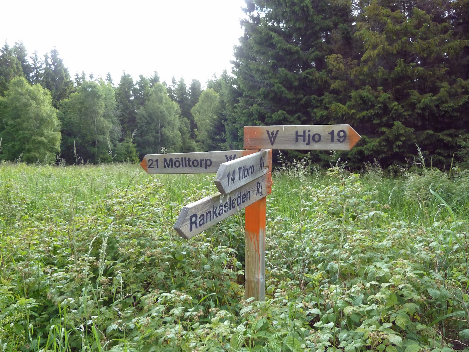
There is the option to take a small side-trail in this area called Rankåsleden, which is 29km long and loops west to the town of Tibro before looping north-east back to Västra Vätterleden. You can find more information on this trail here. I chose to stick to VV.
I'll let the pictures do most of the talking from this trail intersection until the end of stage 4. An absolutely lovely woodland walk.


 |
| My poncho/tarp got a lot of good use on this trip. Great piece of gear. |


Lake Röåsjön marks the end of the stage, as well as something that is a first for me backpacking in Sweden, which was a warning about the water. In general the water in Sweden is very clean, and that I can recall I have never before seen a warning about water. Roughly translated, the sign below says that the water is of irregular/sub-par quality, and for safety's sake to boil it before drinking. Since I was raining I simply used rainwater from a puddle to make my dinner (and boiled it anyhow).
This is where there is another good trail shelter, as well as an outhouse. This is also where I met Alex, and we both spent the night at the shelter. The next day we agreed to hike together, and were both headed the same direction anyhow, which was to the next trail shelter. The path offers more good hiking, and passes through the small town of Mölltorp. In town there is a pizzeria, supermarket, bus stop, and church that may be of interest to hikers. At the bus stop you can take a bus to Karlsborg to the east or to Skövde to the west. Though I would definitely not skip the rest of stage 2, which has some real highlights of the E1 trail. Alex and I ate lunch on the church grounds, where we also filled up on water from the graveyard tap before moving on.


Not too long after Mölltorp there are some signs that point out some history of the area and its ruins. You an actually zoom in and read the text (Swedish and English) of the signs below if you want--right click and open in a new window for full size picture, and this goes for all the pictures on my blog. This area turned out to be one of my favorite hiking experiences, period. I love history, ruins, and all things that look and feel weathered, old, and ghostly.
Be careful, however--not only in exploring the ruins (or any ruins), but also this is one of the few places on this section of trail that was missing a few markers. Alex and I nearly got lost in the area right outside of the odd bunkers we found, and it took some off-trail searching to find the trail again. Also, make sure not to miss the bunkers--they are easy to walk right by. The stone walls on top of this hill of ruins are your best landmark to find them.


 |
| And what was down those stairs? "Darkness there, and nothing more," |

 |
| "So spake the Cherube, and his grave rebuke Severe in youthful beautie, added grace Invincible: abasht the Devil stood, And felt how awful goodness is," |
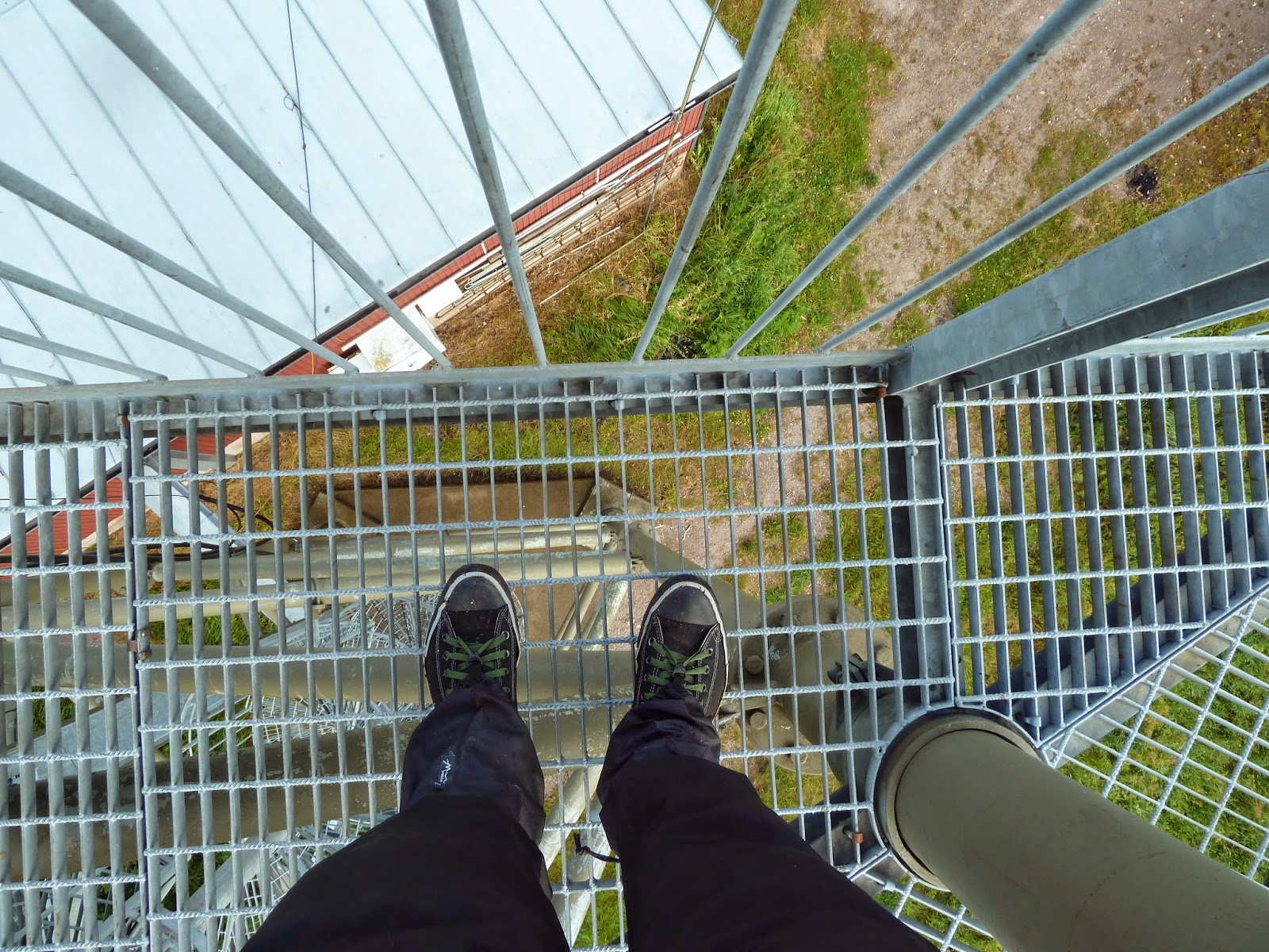
After the ruins it only rained harder, so we didn't waste much time marching to yet another good shelter on a peninsula in the large lake Bottensjön. The peninsula overlooks the west side of Karlsborg, and is a wonderful campground, as well as what would probably be an excellent place to swim. It was not exactly swimming weather, unfortunately, and due to the rain we also skipped exploring the area until the next morning. Thankfully we had sun in the morning, and hiked back to the lookout tower and around the area.
At the crossroads close to the lookout tower one can hike 7km to the north where there is the village of Forsvik, which marks the end of stage 2 and beginning of stage 1. It is slightly longer to hike to Karlsborg from Forsvik than hiking around the southern end of Bottensjön, so we decided to head south after the lookout tower.


 |
| I know I looks less than beautiful, but it tasted amazing! Vegan stew of powdered potato, soy faux-ground beef, olive oil, ketchup, veggie bouillon, salt, pepper, and of course freshly picked baby golden chantarelles. |


Right after we checked out the old gate above, Alex spotted and pointed out a baby duck sitting in the grass right next to the dirt road we were on. It was silent and looked pretty weak. I looked and listened all around for the ducky's mother, but it was all alone. This was also pretty far away from any body of water. After some discussion on what to do with the ducky, we decided to try and help it. It would surely be eaten by a bird of prey, snake, fox, farm cat, or maybe even hit by a car. We gave the ducky some water, which it drank, albeit with some difficulty.
I decided I would try and take the ducky home where I could take care of it, and my children would also love having a duck temporarily, as they love animals. The plan was to get it healthy again and then release it back into the wild when it was older and ready. This ducky would also slightly alter my plans of hiking into Karlsborg and checking the town out, because now I wanted to get home quickly so that I could figure out how to take care of the ducky properly.
After carrying the ducky for a bit, I got an idea. I emptied the contents of my chest pouch into my backpack, put my t-shirt inside as a makeshift bed for the ducky, and put it inside. It got comfortable, and was pretty quiet. Rather than hike all the way into Karlsborg, we began to hike there going south around the lake, and on the way on highway 49 I noticed at one of the bus stops that a bus to Skövde would be there soon. So I said goodbye to Alex, who continued on to Karlsborg, and I got on the bus headed back home.
Sadly, shortly after I arrived in Skövde and was waiting for a train, the ducky died. A sad end to an otherwise wonderful trip, but I suppose I gave the ducky a nice end to its short life--or at least that's what I like to think. It got to drink some water and curl up someplace soft and dry instead of maybe being eaten alive by a predator. I tried to feed it some bread I got from a restaurant near the train station, but it wouldn't eat. I did the best I could to try and save the ducky.
So it goes, so it goes.

